PROBLEMS WE SOLVE
Designed to solve critical transportation problems.
for Data Visualization
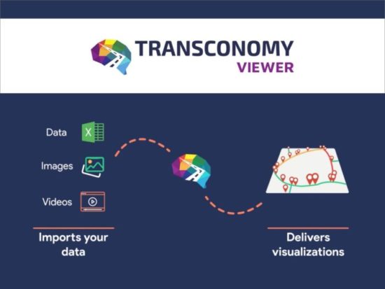
Transconomy Viewer is an enhanced data visualization tool that equips agencies to quickly visualize critical transportation and infrastructure data on interactive thematic maps. Designed to be data-agnostic, it lets agencies visualize any point and segment-based road attributes on color-coded maps and extract meaningful insights in the form of graphs and charts. It also allows agencies to distribute their visualized data to users in other agencies. This feature helps agencies and their customers to easily understand their road network data and make data-driven decisions.
Data-Driven Solutions for Transportation Challenges
The data and information provided by Transconomy helps solve many important problems for government
agencies. These issues touch all aspects of transportation including asset condition, safety, equity, and resilience.
A sampling of some of the critical problems Transconomy helps to solve are presented below.
Perform roadway safety audits
- Move the needle on Vision Zero.
- Allows rapid conduct of safety
studies. - Identify safety issues and correct
them before projects are built.
Perform sidewalk connection studies
- Increase walkability.
- Increase walkability & property values.
- Improve the transportation
network. - Move pedestrians out of the
roadway.
Determine CAV lane striping adequacy
- Reduced human driver confusion.
- Enhanced ped/bike/vehicle safety.
- Reliable vehicle localization.
- Increased adoption of safer
vehicles.
Determine ADA compliance of infrastructure
- Affords legal protection.
- Allows improved mobility.
- Allows greater independence for individuals.
- Provides equal opportunities for people.
Develop digital twins of critical assets for resiliency
- Assist with FEMA claims.
Proactive management of assets. - Know where your assets are
before disaster strikes. - Allows rapid replacement after an
emergency
Provide advanced asset management decision making
- Improved asset performance.
- Increased asset lifespan.
- Proactive maintenance.
- Financially prudent.
Develop performance-based asset management plans
- Provides budget inputs.
- Provide a ROI for infrastructure investments.
- Determines the future condition
of the network. - Greater transparency with
decision-making.
Make maintenance and rehabilitation decisions for pavement
- Improves condition.
- Allows transparency in decision making.
- Detects potholes, a common
citizen complaint. - Creates a better relationship with citizens.
Enhance street safety for vulnerable pedestrians, cyclists, and micro-mobility
- Allows mobility studies.
- Increased recognition of unsafe areas.
- Reduce peds and micro-mobility
accidents. - Recognize underserved areas of a town or city.


