
Collect and synchronise roadway images on the go.
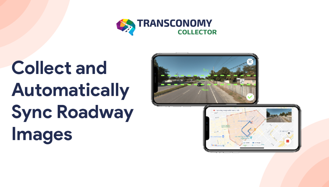
Effortless Data Collection using Smartphones
Cost-effectiveness, accurate data collection, and convenience of use are important factors for any transportation agency. Transconomy Collector provides you with a low-cost, simple-to-use, and precise data collection solution. It reduces the amount of time consumed between local data collection and delivery and saves weeks or even months in the overall data collection process. The Transconomy Collector app has been rigorously tested to work seamlessly for mobile phones using iOS and Android operating systems.


Download app
Download the app from App Store or Google Play

Enter Code
Enter the provided Collector Code to log in

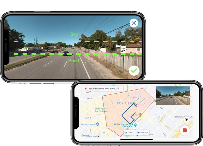
Collect Data
Quickly collect roadway images on the go
Sync Data
The app automatically syncs data to Hub
Customized Image Collection Frequency
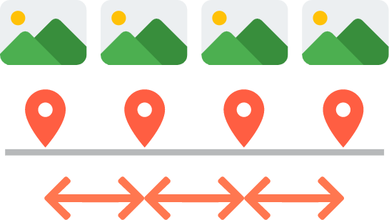
The app allows specifying a spatial (by defining the distance between consecutive images) or temporal (by establishing time periods) frequency for image capturing and automatically tags the collected images with accurate GPS information. It also provides a "slow down" warning feature in real-time if the speed of the vehicle inhibits collection based on the specified spatial frequency.
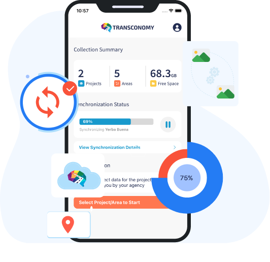
Data Synchronization on the Go